
By John Beasley
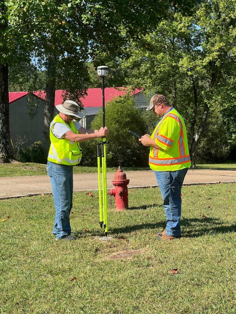
The City of Camden Water Department (CWD) is pleased to announce the implementation of the first phase of a comprehensive integrated asset management plan. The first phase includes geographic information system mapping (GIS) to collect data and build a mapping architecture system of all Camden water lines that can be used to manage and analyze water system infrastructure.
A robust and comprehensive GIS system will help Camden implement innovative strategies to grow and increase efficiency. Currently, Camden does not have a complete detailed map of its water infrastructure to meet the Tennessee Department of Environment and Conservation mapping compliance requirements. A comprehensive GIS system will enable CWD to meet these requirements.
Camden can leverage GIS data collected in the field to plan and initiate maintenance routines in the drinking water distribution system, increase employee response times during water system service outages by having detailed valve location data, and conduct hazard mitigation planning for our critical drinking water infrastructure.
GIS data will be available to share with key stakeholders along with other municipal departments, county government, and neighboring utilities including natural gas, electric, and digital communications. Data will be used for fire protection management and planning with a comprehensive fire hydrant inventory with useful data such as location, system pressure, and flow characteristics. Hydrant location data will help increase fire department response times and improve ISO insurance ratings.
Civil Infrastructure Associates, Camden’s engineering consultant, is providing planning and design services for this project with support from True North Geographic Technologies. CWD is using industry leading Esri ArcGIS software to build a comprehensive database of Camden’s critical water and sewer utilities.
CWD personnel are excited about new opportunities to fund growth in the communities we serve. Funding for this pilot project comes from a low interest loan from the Tennessee Department of Environment and Conservation State Revolving Fund with a 50 percent grant match.